
or for a smartphone or tablet, load the app "PWS Monitor" and add weather station code: IBCPRINC6
Wood Stove Replacement - Rebate
Central Okanagan residents can get a bigger rebate this year when recycling an old wood-burning appliance and replacing it with newer, cleaner-burning technology.
The Regional District of Central Okanagan’s (RDCO) Wood Smoke Reduction program offers up to $1,500.
Click here for more details
The Regional District of Central Okanagan’s (RDCO) Wood Smoke Reduction program offers up to $1,500.
Click here for more details
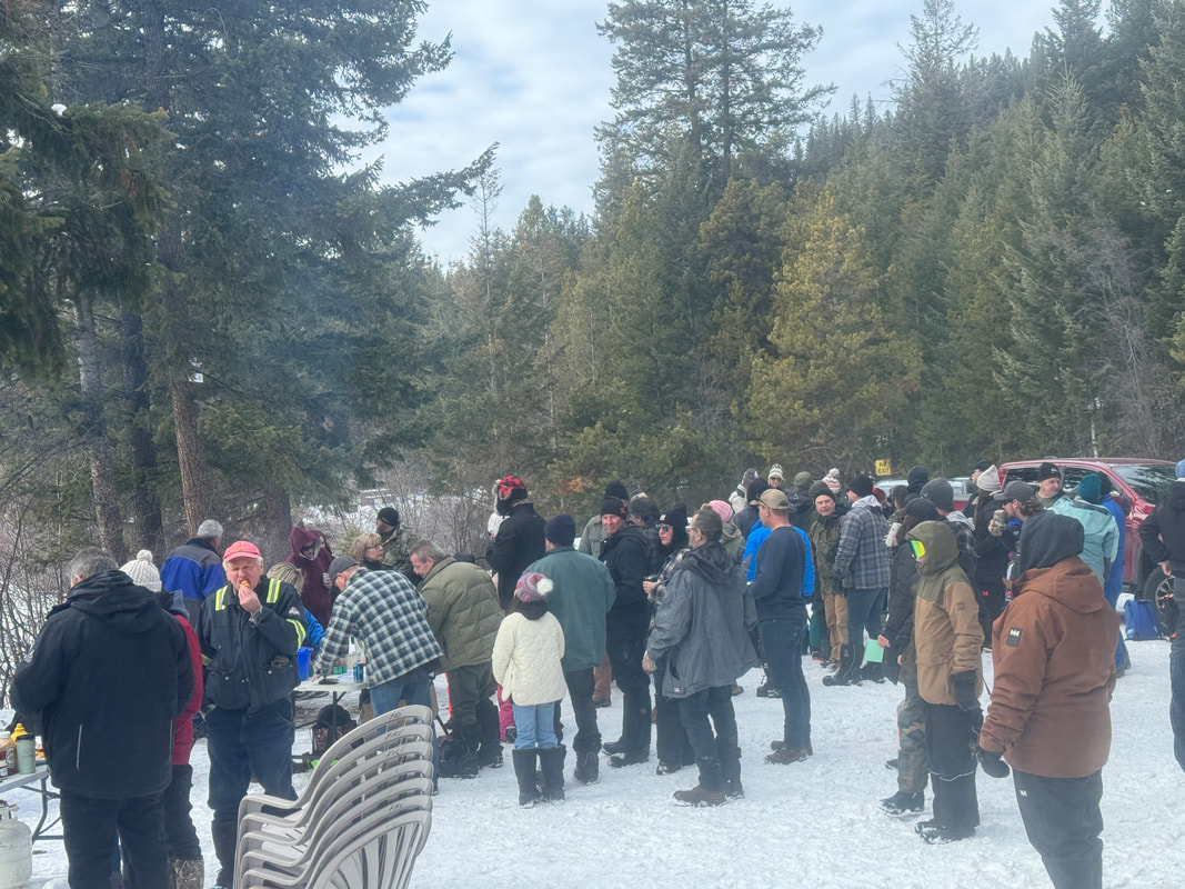
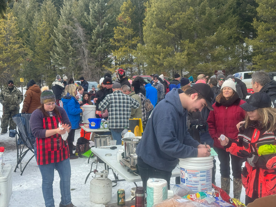
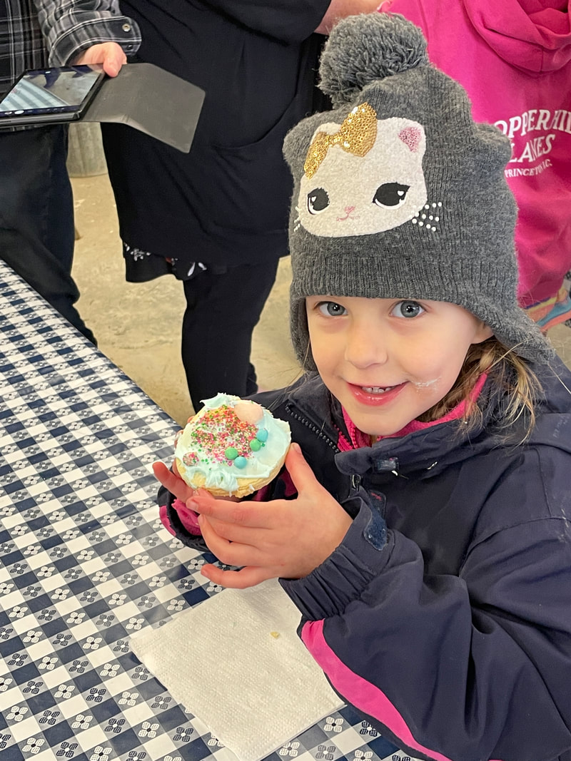
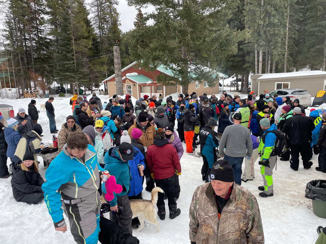
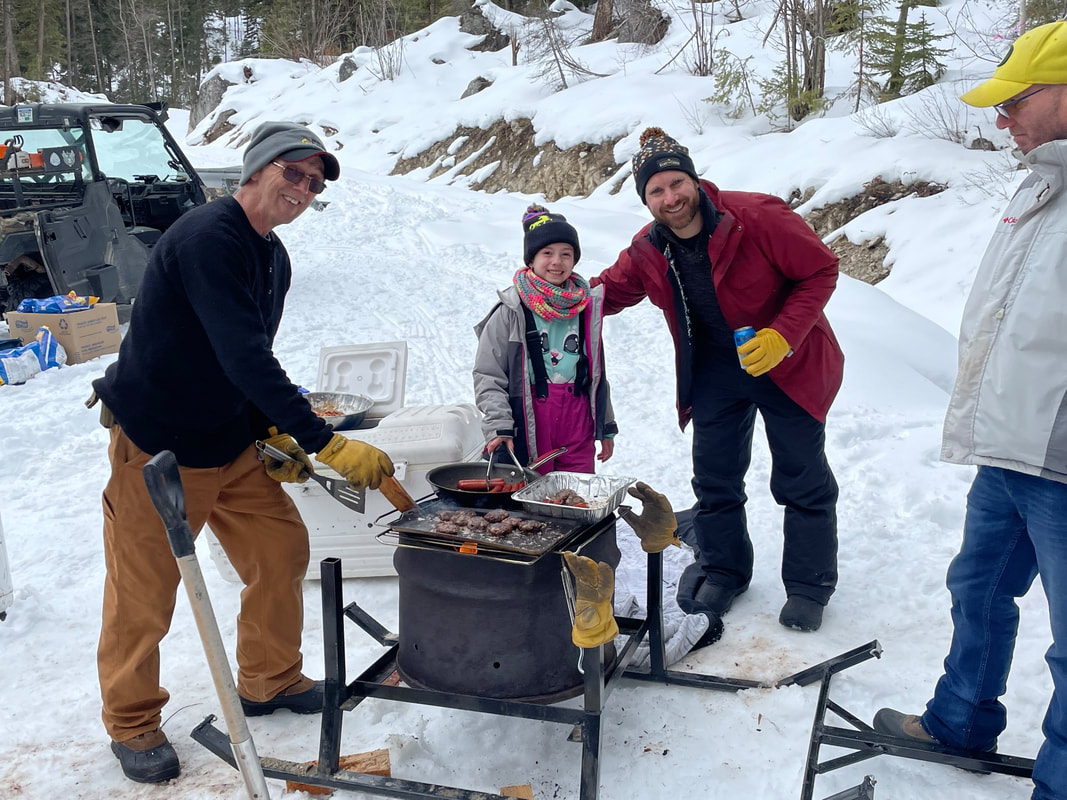
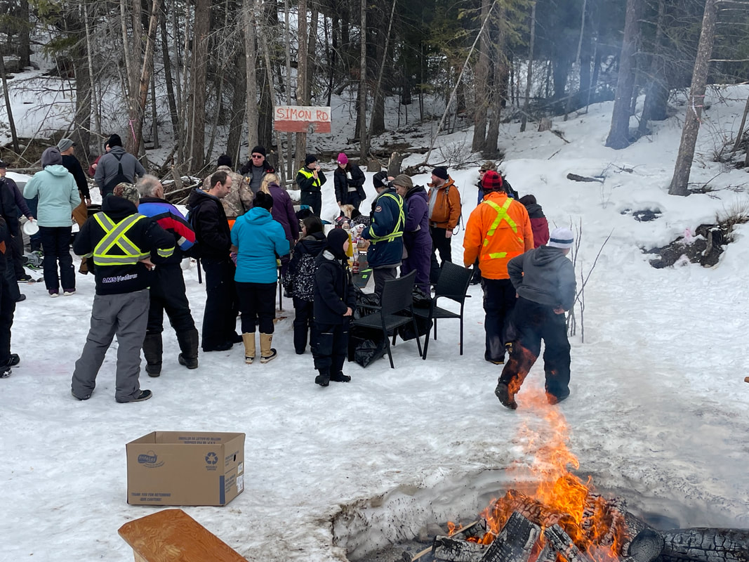
No-Snow Poker Walk Weiner Roast - NEW
Sunday, February 18, 2024 was our first outdoor winter community get-together, other than our usual Poker Runs. Due to the lack of snow this year, we had to settle for having a bit of fun and socializing without riding snowmobiles. It was an outstanding success. More than 125 residents and their guests showed up for some great food - beef dips, hamburger soup, sausage, chips, and fresh made bannock. We also held a Poker "Walk", selling poker entries and awarding many great prizes. Special thanks to Five Star Motorsports, Brazen Construction, SA Energy, and others for donating the great prizes. Also, thanks to all the volunteers who helped organize the event, keep the campfires burning, hot dogs and bannock cooking, and serving the soup and beef dip. Hayes Creek fire also held a 50/50 draw and generated over $450 for the volunteer fire hall. This event was so successful we are thinking making it an annual community event.

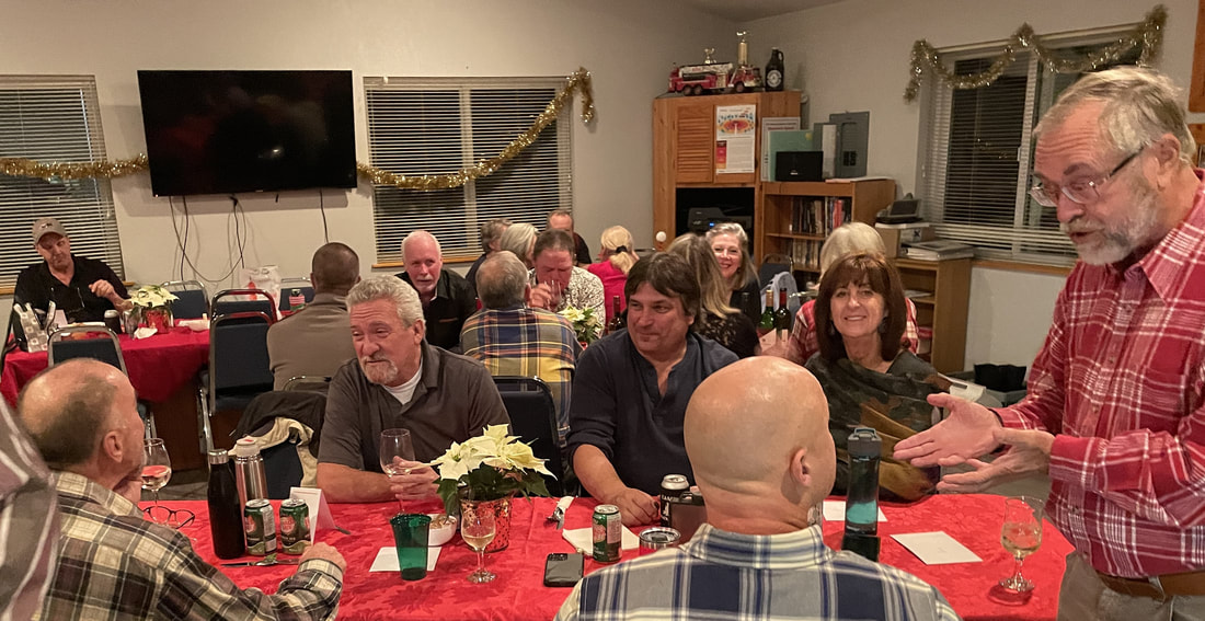
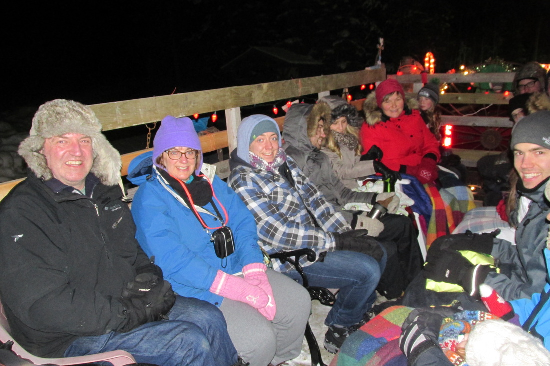
Christmas - 2023
The Christmas season had already begun around Osprey Lake with the annual Hayes Creek Fire Christmas Potluck Dinner on December 10. Sixty-six local residents and their guests enjoyed turkey, ham, and all the usual trimmings. Entertainment followed by our own 'Lone Stranger' Paul Baddeley,
Thanks to Donna for organizing everything and to all the helpers who decorated, cooked, and cleaned up.
Congratulations to Angelina Olson, the winner of the beautiful Hayes Creek Quilt Raffle.
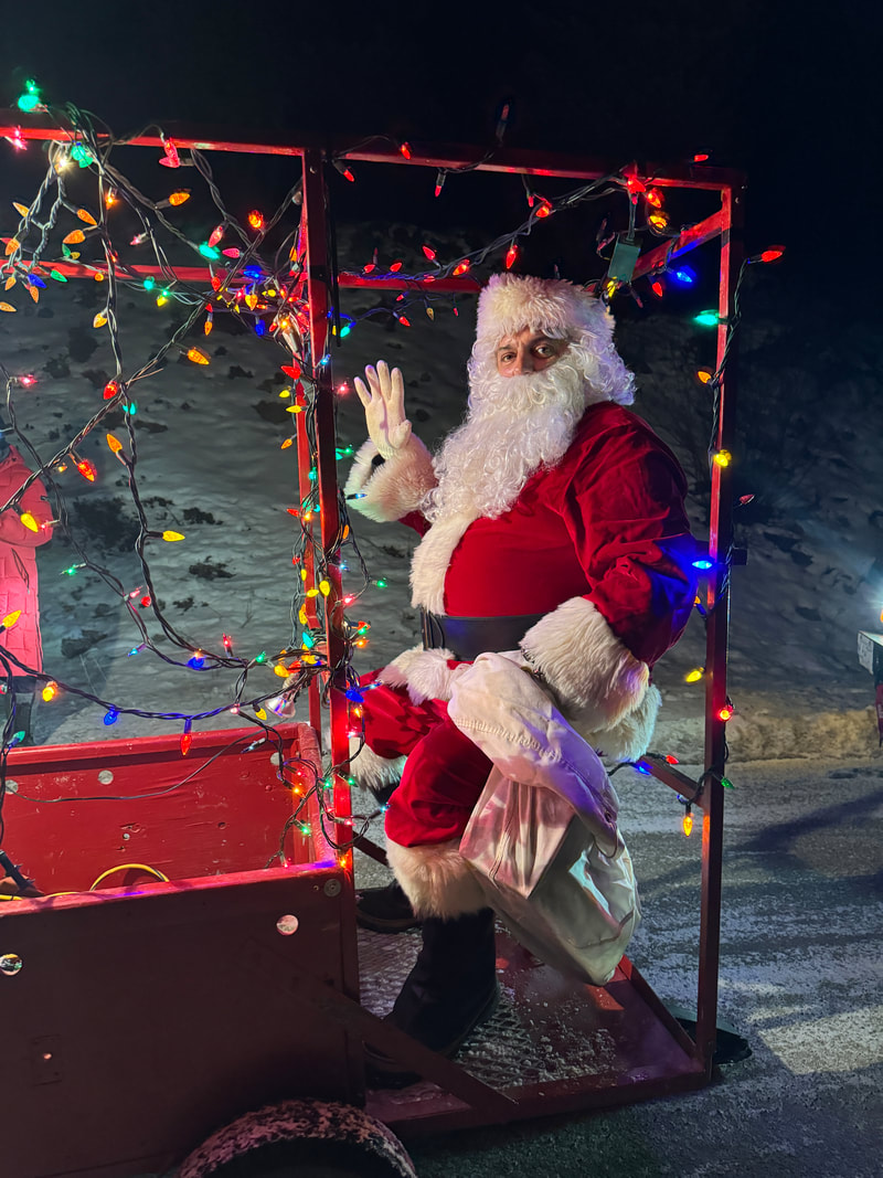
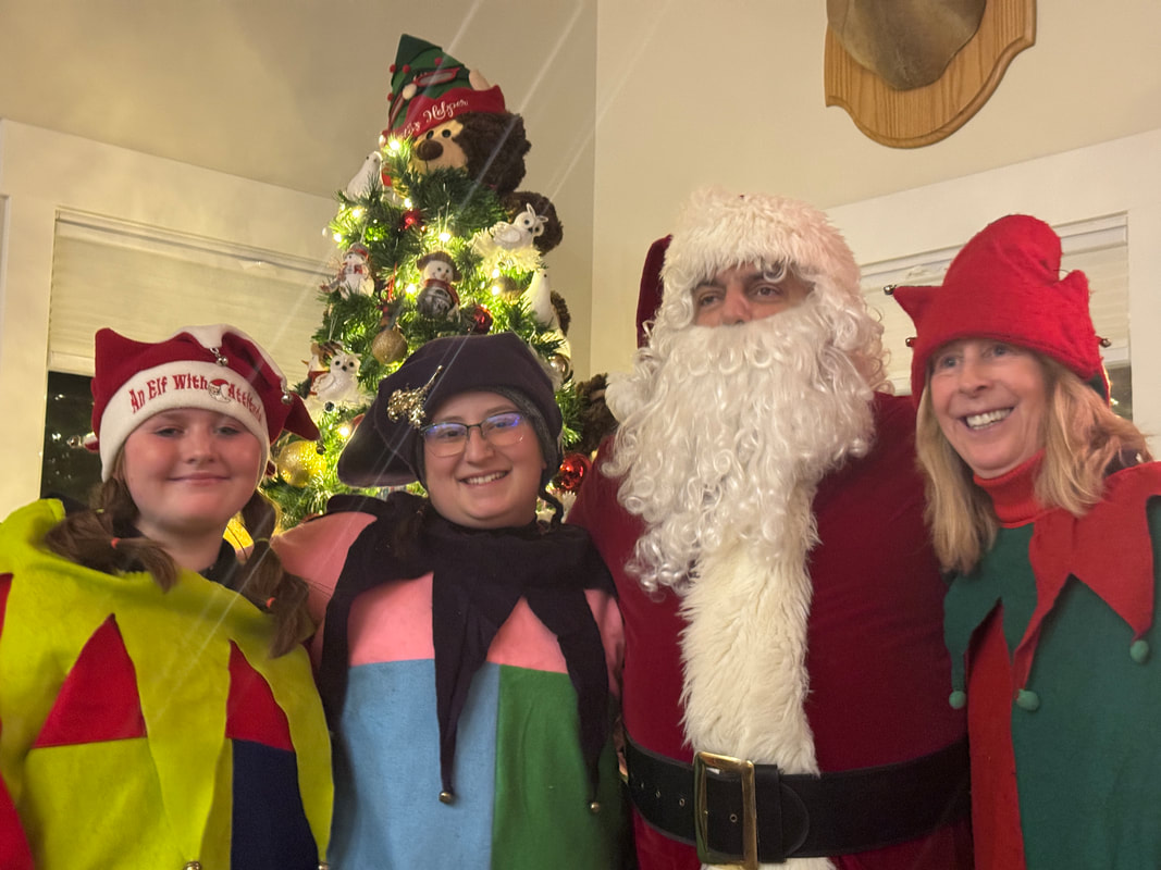
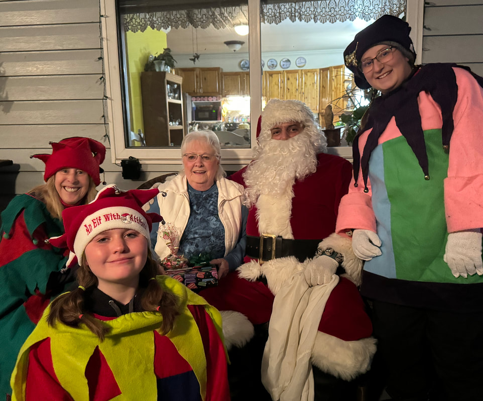
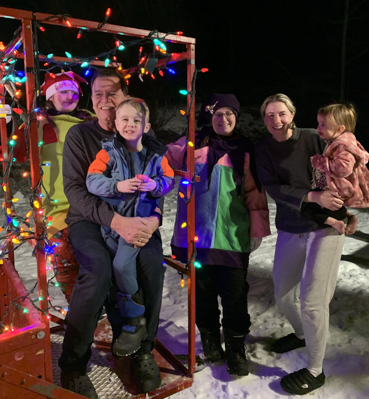
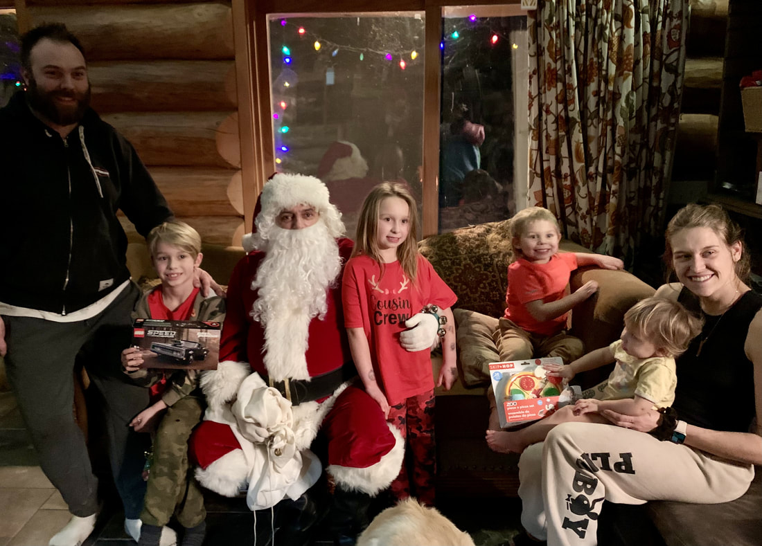
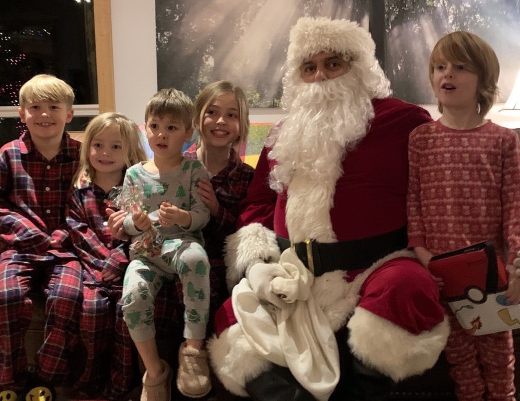
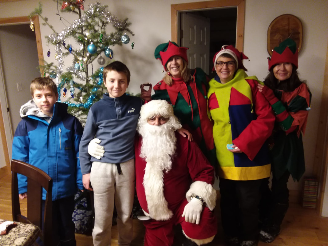
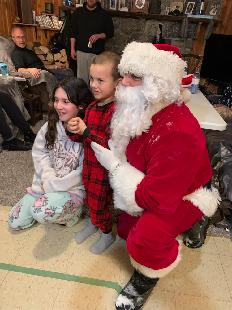
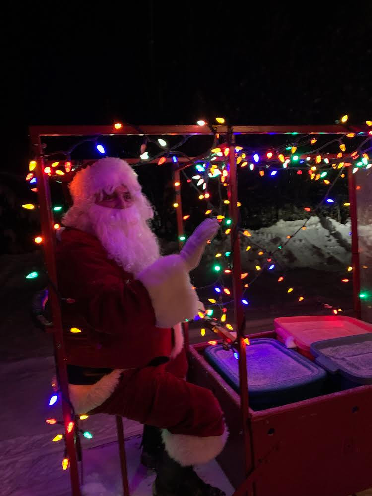
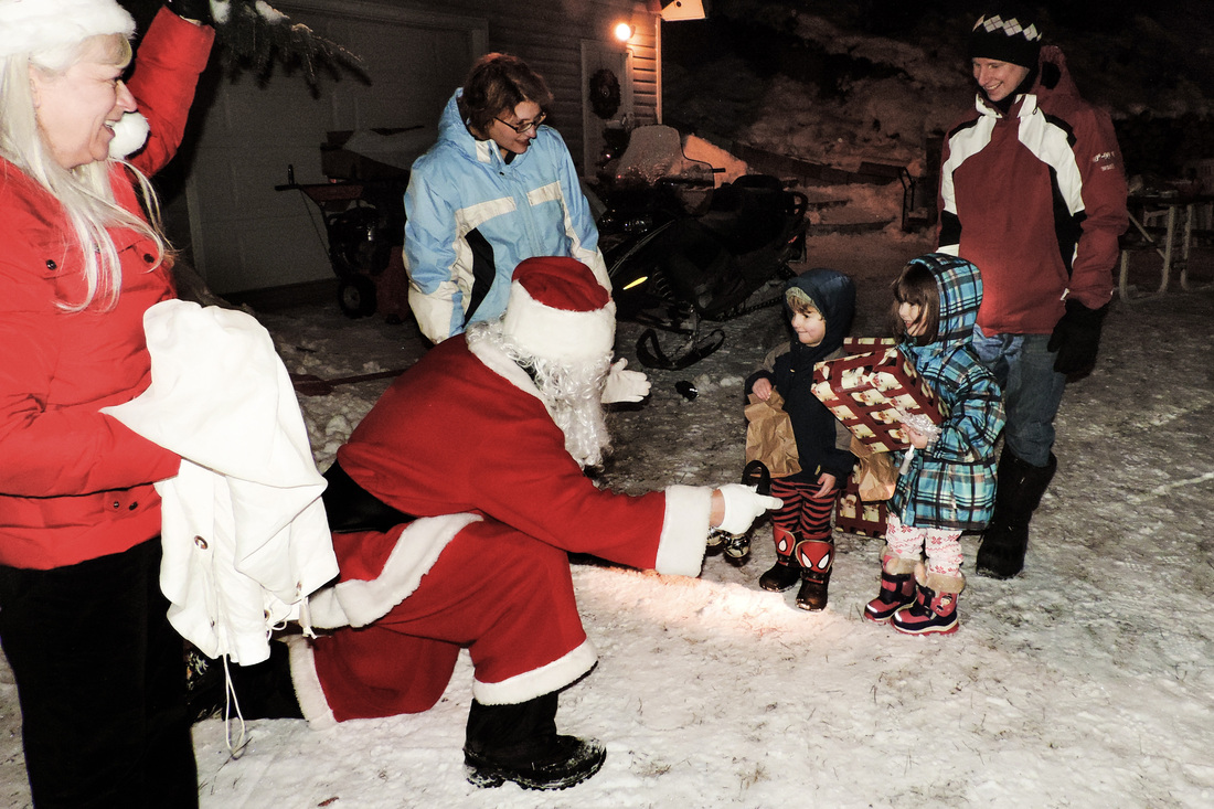
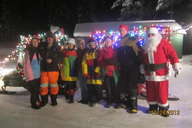
Santa Run though the neighbourhood run on Christmas Eve was a highlight for the 13 children who received a personal visit and gift. Santa and his elves visited 6 local families this year and had a great time.
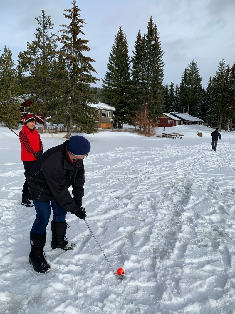
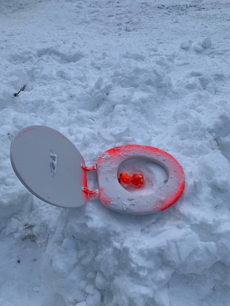
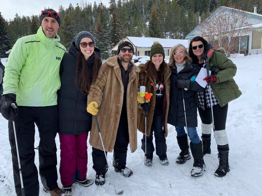
Snow Golf was great - there were 64 golfers enjoying the two 6 hole courses, spread over a portion of Osprey Lake. We had 4 warming fires going with hot dogs and hot chocolate to enjoy. Thanks to all those who contributed the prizes. Special thanks for Troy and Nils for laying out the courses and running the event.
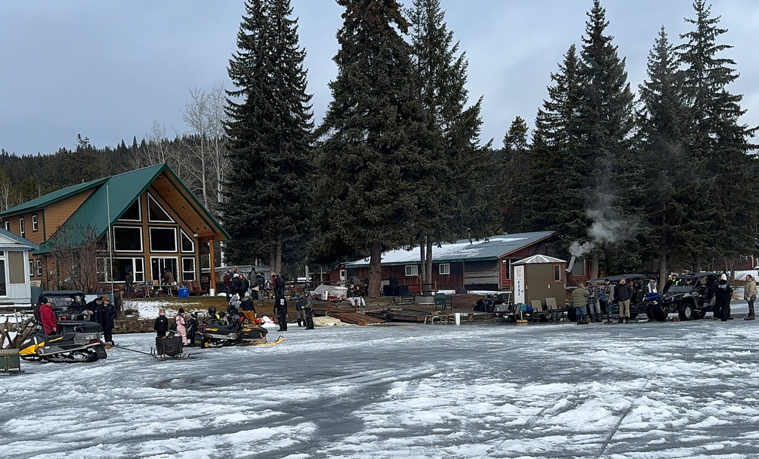
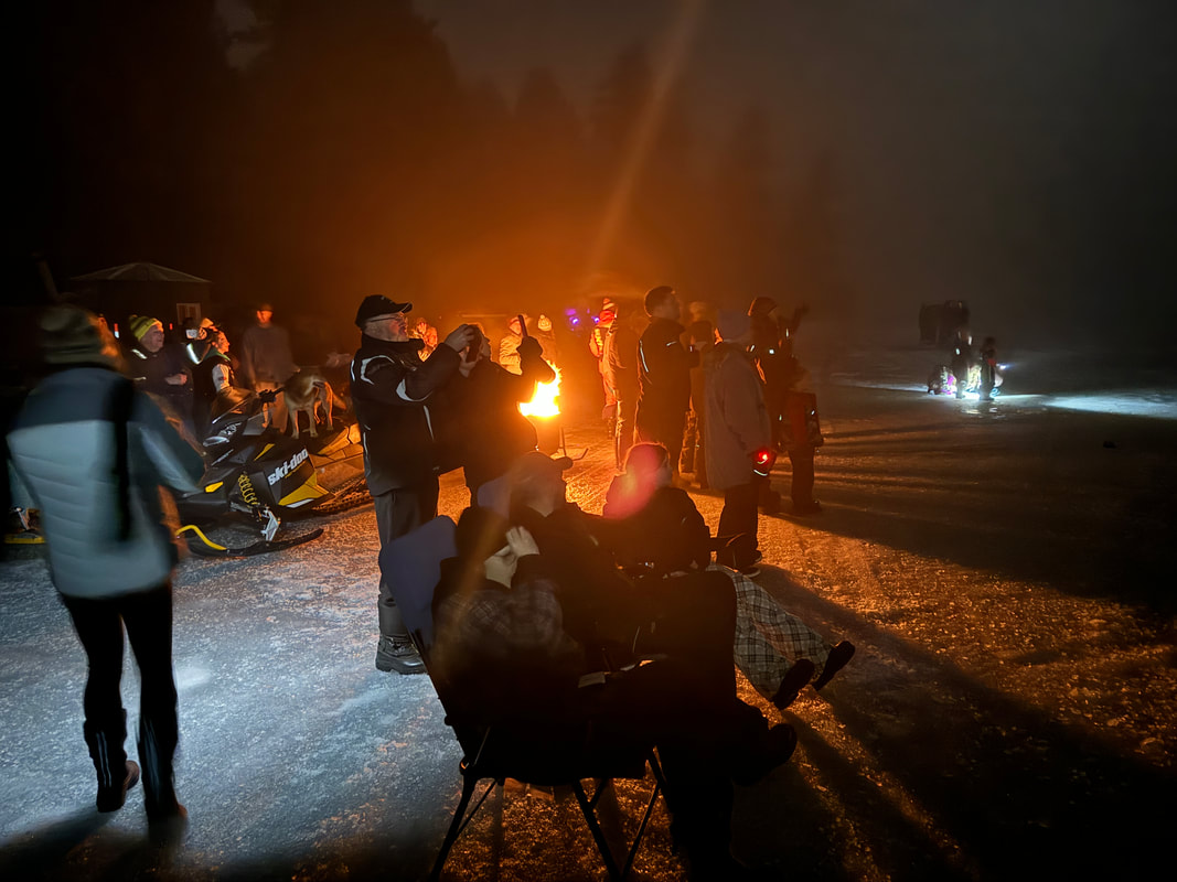
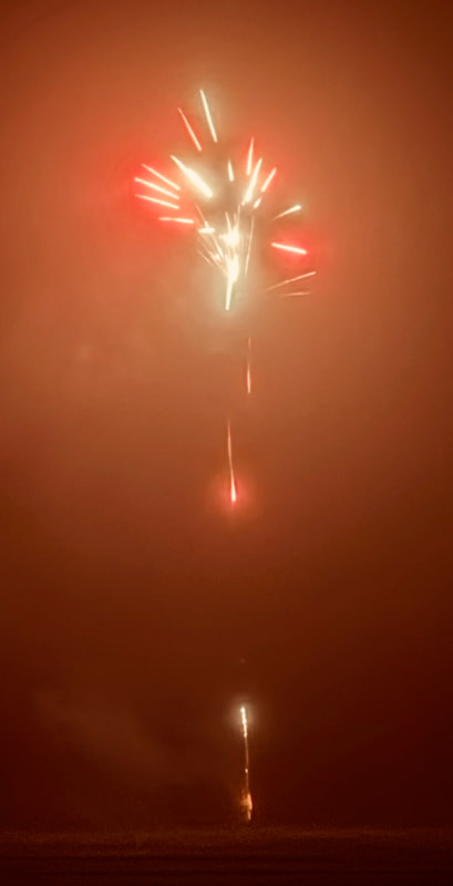
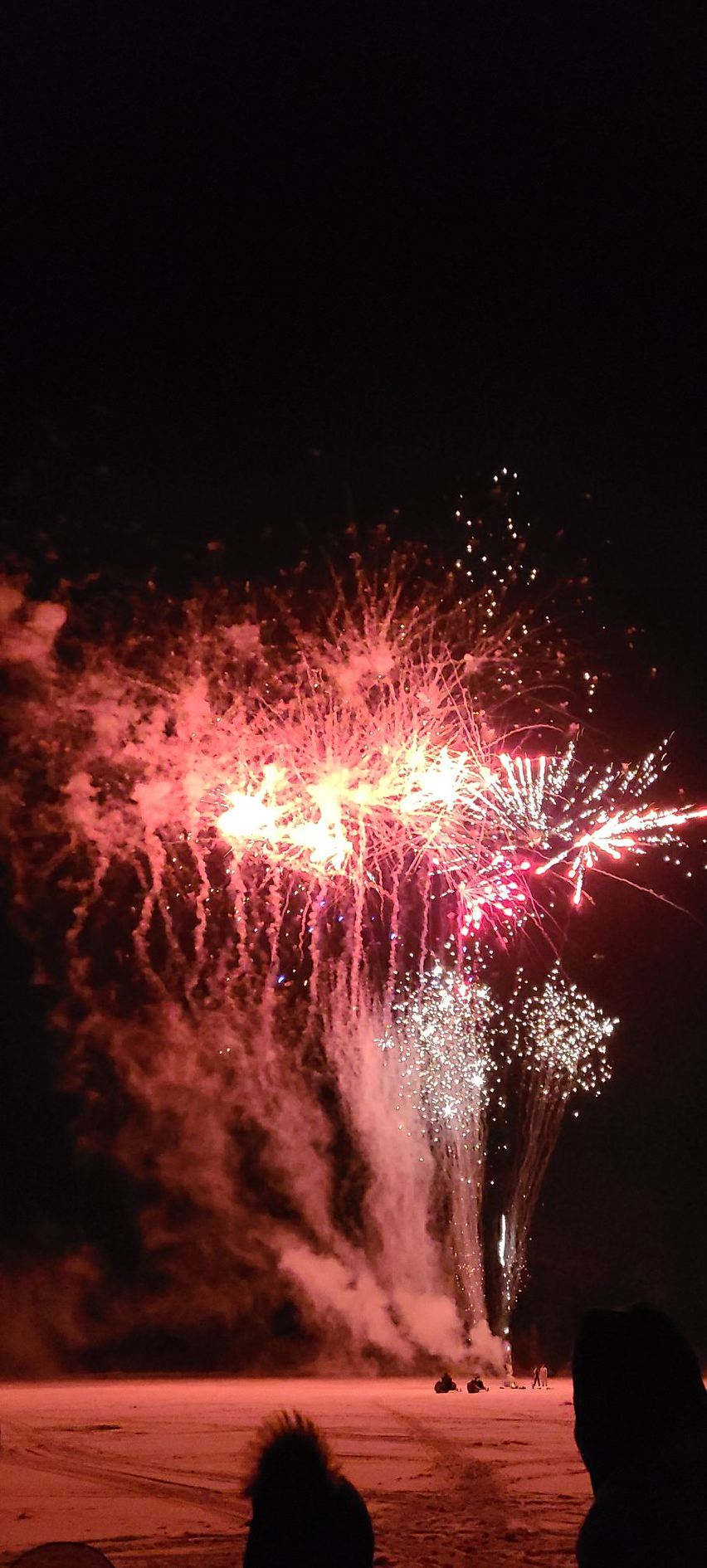
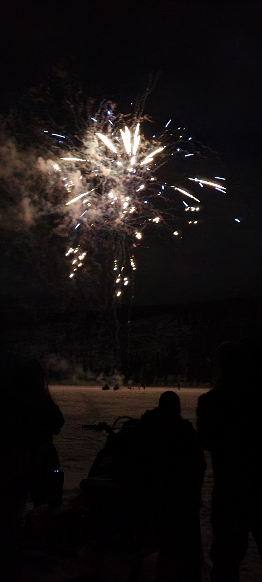
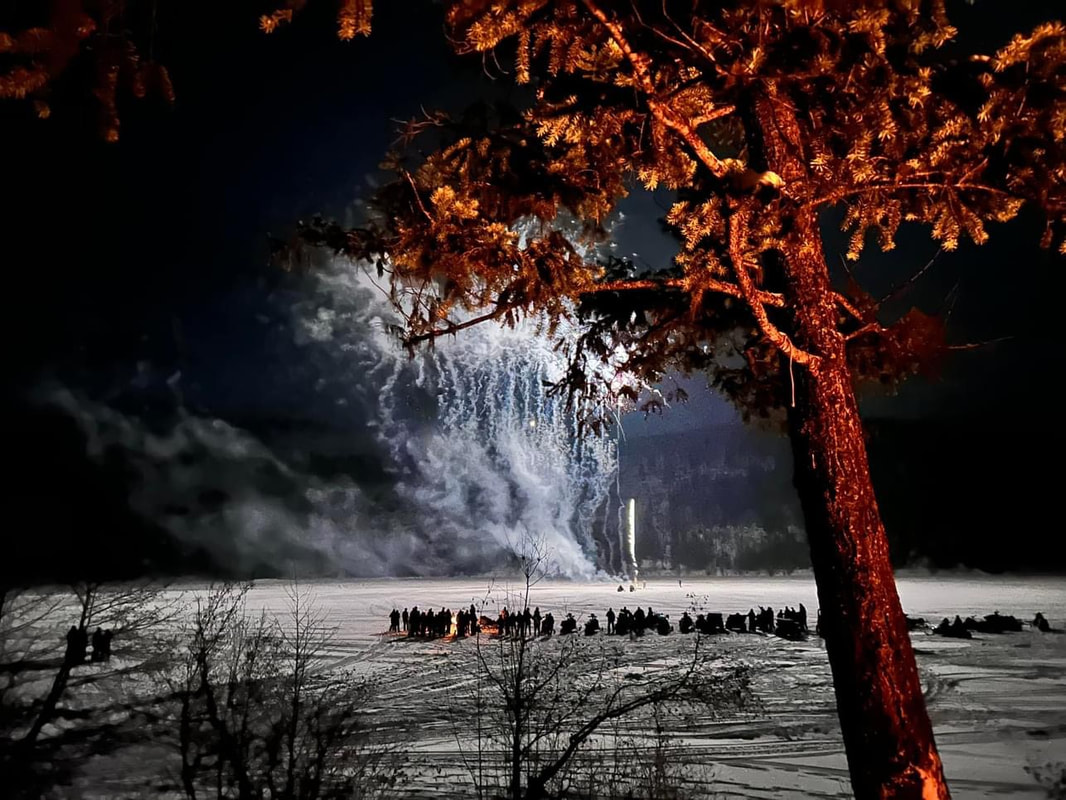
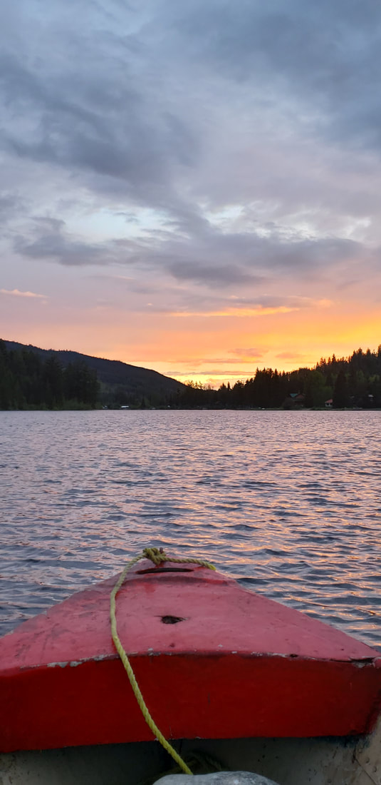
Although there wasn't very much snow this year, the lake was solidly frozen over. About 11:45pm, December 31, 2023, there was a multitude of ATVs SXSs and Snowmobiles heading east on the lake to bring in the New Year while enjoying the fantastic Fireworks Display. Thanks to Ray and Jordan Q for organizing and setting off the fireworks. Click here for YouTube video of Fireworks.
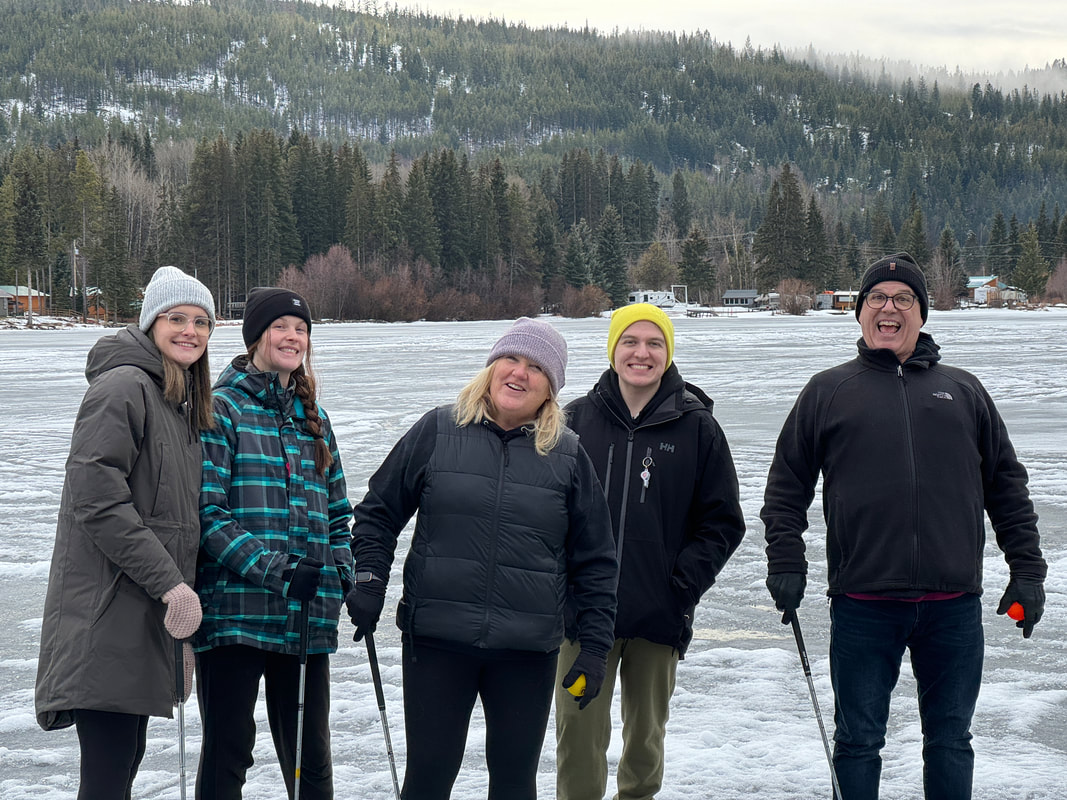
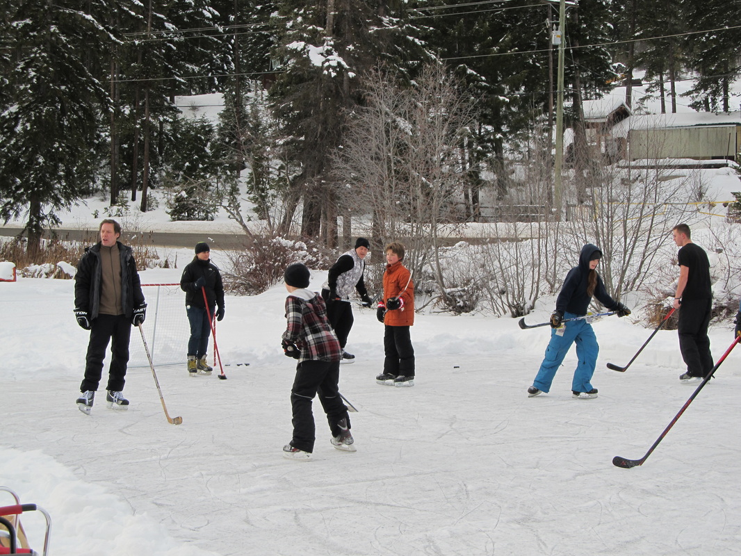
The snow conditions were not great for snowmobiling this Christmas season, but many people took advantage of the large areas of clear ice for skating and ice hockey.
Thanks to Donna for organizing everything and to all the helpers who decorated, cooked, and cleaned up.
Congratulations to Angelina Olson, the winner of the beautiful Hayes Creek Quilt Raffle.
Santa Run though the neighbourhood run on Christmas Eve was a highlight for the 13 children who received a personal visit and gift. Santa and his elves visited 6 local families this year and had a great time.
Snow Golf was great - there were 64 golfers enjoying the two 6 hole courses, spread over a portion of Osprey Lake. We had 4 warming fires going with hot dogs and hot chocolate to enjoy. Thanks to all those who contributed the prizes. Special thanks for Troy and Nils for laying out the courses and running the event.
Although there wasn't very much snow this year, the lake was solidly frozen over. About 11:45pm, December 31, 2023, there was a multitude of ATVs SXSs and Snowmobiles heading east on the lake to bring in the New Year while enjoying the fantastic Fireworks Display. Thanks to Ray and Jordan Q for organizing and setting off the fireworks. Click here for YouTube video of Fireworks.
The snow conditions were not great for snowmobiling this Christmas season, but many people took advantage of the large areas of clear ice for skating and ice hockey.
Easter Egg Hunt - 2023
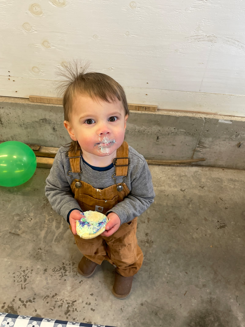
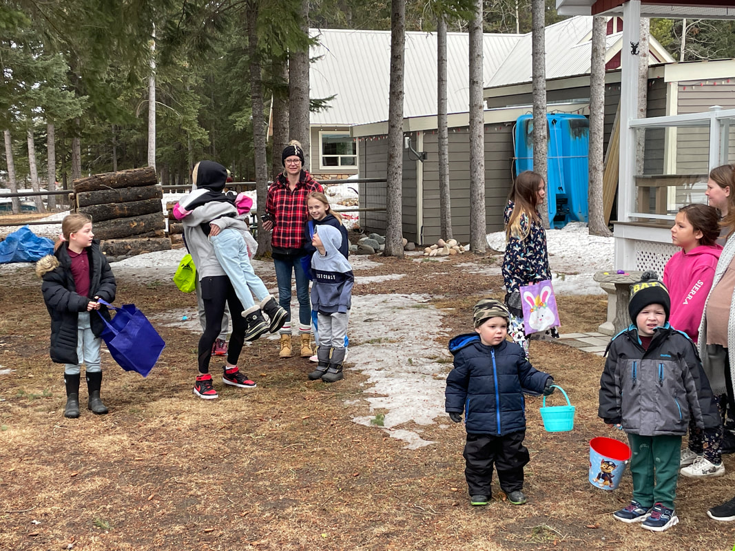
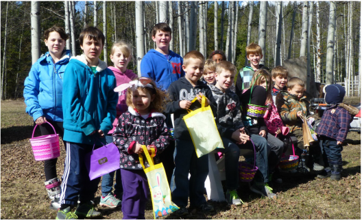
We had 21 children running around looking for Easter Eggs - along with about 50 parents, grandparents, and just spectators. What a great morning, a bit of wind, and cooler, but at least no rain (not like the coast). After finding eggs, they all got to put icing and decorations on Easter Egg cookies and take home a 'goodie' bag. Special thanks to Karren Hodge for again planning and organizing this fund community event.
New to the community, or never registered with Hayes Creek Fire?
For all individuals new to the community, we have put together a Welcome Wagon booklet with helpful information about our community. If you download this file, we're sure you will find it helpful and informative with lots of community information and contact details.
PLEASE, in case of any fire, flood or medical emergencies, we need your confidential contact information. By registering your property and paying your $100 annual fee, you will be supporting the valuable work of our completely volunteer Hayes Creek Fire department. You can eTransfer your payment to: hayescreek@ospreylake.ca, or mail a cheque to Hayes Creek Fire, 3950 Princeton Summerland Rd., Princeton, BC, V0X 1W0 (just include your 'lake' address and contact information)
PLEASE, in case of any fire, flood or medical emergencies, we need your confidential contact information. By registering your property and paying your $100 annual fee, you will be supporting the valuable work of our completely volunteer Hayes Creek Fire department. You can eTransfer your payment to: hayescreek@ospreylake.ca, or mail a cheque to Hayes Creek Fire, 3950 Princeton Summerland Rd., Princeton, BC, V0X 1W0 (just include your 'lake' address and contact information)
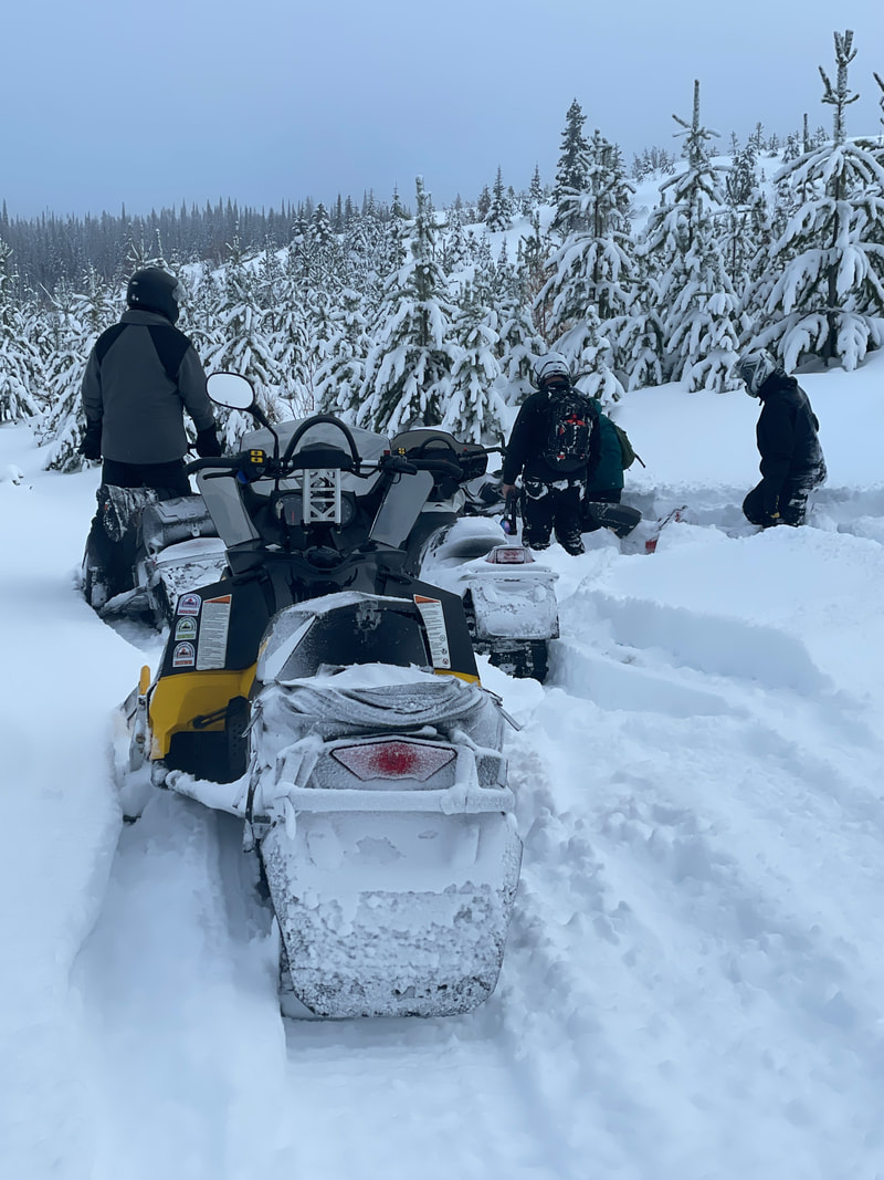
Osprey Snowheelers Poker Run - Sunday, February 20, 2023
A very successful event with a record 120 sleds participating. As usual, Tom's special treats at the Check Point ensured everyone had a great snack along the way. Thanks for all those involved - Alan, Tom and Fred for laying out the course; Tom, Brenda, Karli, Kyia and others for the Check Point; Lisa and Janelle for looking after the registration desk all day, and for Sean getting prizes donations and determining the winning hands. Special thanks to Five Star Motorsports for all the prizes they donated, along with all the other companies and individuals who contributed the great prizes enabling almost all riders to go home with something special.
Winner with four 6s was Scott Moyes. Runners up were Rob Masztalar, Bruce Wanderwyk, Gene Keenin, and Craig Michie. The Hayes Creek Fire 50/50 winner was Brian Main taking home $485.
Winner with four 6s was Scott Moyes. Runners up were Rob Masztalar, Bruce Wanderwyk, Gene Keenin, and Craig Michie. The Hayes Creek Fire 50/50 winner was Brian Main taking home $485.
Christmas at Osprey - 2022
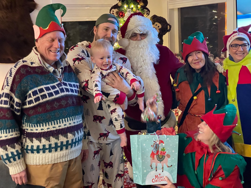
Activities for the season started out on Christmas Eve with Santa and his elves making five stops in the neighbour, bring Christmas presents and candies to the children. Thanks to Shannon for organizing this, Rob for towing the sled, Santa Dave, and elves Shannon, Brenda, and Barb
Next up was Snow Golf - 6 holes of fun on the ice (with a slush mix of water underneath). There was a record 95 golfers enjoying the sunny afternoon and warm fires. Thanks to Troy, Nils and helpers who laid out and ran the event and to those who donated the many prizes.
The day ended with a fantastic fireworks display at midnight across from the Osprey Lake campsite with over 100 people watching. Thanks to Jordan and Ray Q for organizing the fireworks and setting them off. And to all those who donated additional fireworks and cash to help offset the cost. For those who enjoyed the show and still wish to help out, we are requesting a $10/person donation - you can etransfer to: ratepayers@ospreylake.ca.
These fantastic community activities are only possible due to the numerous community minded individuals who took time away from their families to volunteer and add help provide joy to others - thanks to all of you.
Hayes Creek Fire Christmas Dinner - December 15, 2022
Over 50 local residents were treated to a fantastic full turkey dinner on Saturday night sponsored by Hayes Creek Fire. Thanks to Donna for organizing everything and to all the helpers who decorated, cooked the turkeys, and brought all the trimmings. A fun adder to the evening was a reverse bottle draw, with the two finalists splitting the big prize, but each still going home with a full case of 12 bottles.
ORV (SXS/ATV/MOTOR CYCLES) NOT ALLOWED ON AREA ROADS
The local RCMP have been patrolling the area recently, and issuing tickets to all unlicensed vehicles - including those with ORV registration, liability insurance and operators wearing helmets. As far as we know, those with registration, insurance, and helmets have only been given warning tickets - but that could end.
You should be keeping all riding to the trails!
You should be keeping all riding to the trails!
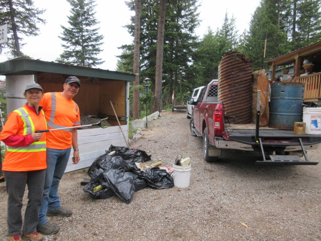
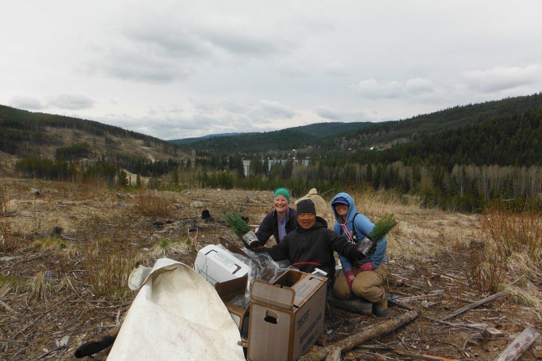
Roadside Cleanup - 2022
May 28 we had 11 local residents walk the local streets and trails around Osprey, Link and Osprey Lakes picking up garbage left behind by careless 'other' users. Fortunately, most people are very thoughtful and don't leave a mess behind - we only collected about 5 bags of garbage, including about 30 cigarette butts, a few pop/beer cans, and assorted other items. Special thanks for Barb A, Lynne A, Sandy S, Steve P, Ross & Karren H, Scott & Loren M, Alan H, Shannon R, & Kevin C.
It was a great, sunny fun day for 24 lucky children. There were hidden eggs full of treats, plus candy bags and cupcakes for all of them. Thanks to Karren H for looking after this popular event.
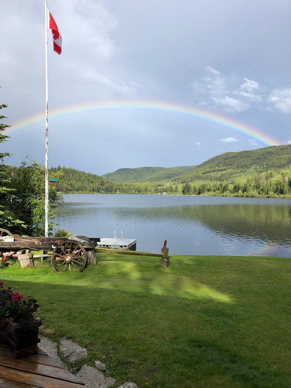
Boating on Link Lake - restrictions for electric motors only have been updated to an aggregate maximum power no greater than 7.5 kW
Garbage on Princeton-Summerland Rd
Recently there have been numerous items 'blown' off open trucks and trailers littering the road. Remember - the local land fill in Princeton accepts all Garbage, but trucks/trailers must be properly 'tarped' during transit.
Cell Coverage
NEW - The iPhone 14 & 15 now includes Satellite Emergency communications (click on link for short video on how it works). At this point, it is working in Canada on the Rogers network, but we have not confirmed if it is available yet on Bell or Telus. New phones include 2 years of service. This service will send an emergency text message via satellite, where cell coverage is not available, notifying emergency services of your location and key details of your emergency
There are rumours Telus will be adding full coverage between Hope and Princeton, but at this time there only is 'spotty' cellular coverage, with full coverage at Eastgate, Manning Park Lodge, and Sunshine Village. Also, for any area with no cellular coverage, but with WiFi internet, most carriers and plans now allow WiFi calling for no extra charge - you can answer and make calls on your cellular phone over the internet. To set up on an iPhone, go to Settings/Phone/WiFi Calling. Many seasonal and full time residents now have dropped their land lines and use this service instead, although in an emergency, you may have problems getting thru to the correct dispatch centre when dialing 911 . In 2021, Telus installed an overhead fiber link to Tulameen. In 2022 they are also running fiber to Missezula Lake. This will provide them with Optik TV and high speed internet service - hopefully the Osprey/Link/Chain Lakes area will be next.
RADON levels are known to be high around the Osprey Lake area - Click here for an informative article on how to mitigate the risk - Hayes Creek Fire have detectors available to rent so levels at your property can be checked.

Changes to Princeton Landfill Open Days & Hours:
the landfill is closed Sunday & Monday - Open Tuesday to Saturday - 8:00am>3:50pm.
Winter Opening From November 1 to March 31 - only open Tuesday, Wednesday and Saturday.
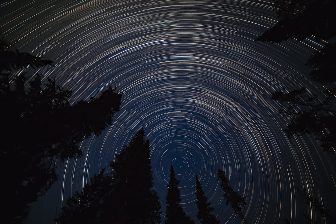

North Star, on a somewhat clear summer's night at the cabin. Star trails looking north as the stars circle the North Star. Another great shot by Richard Harron
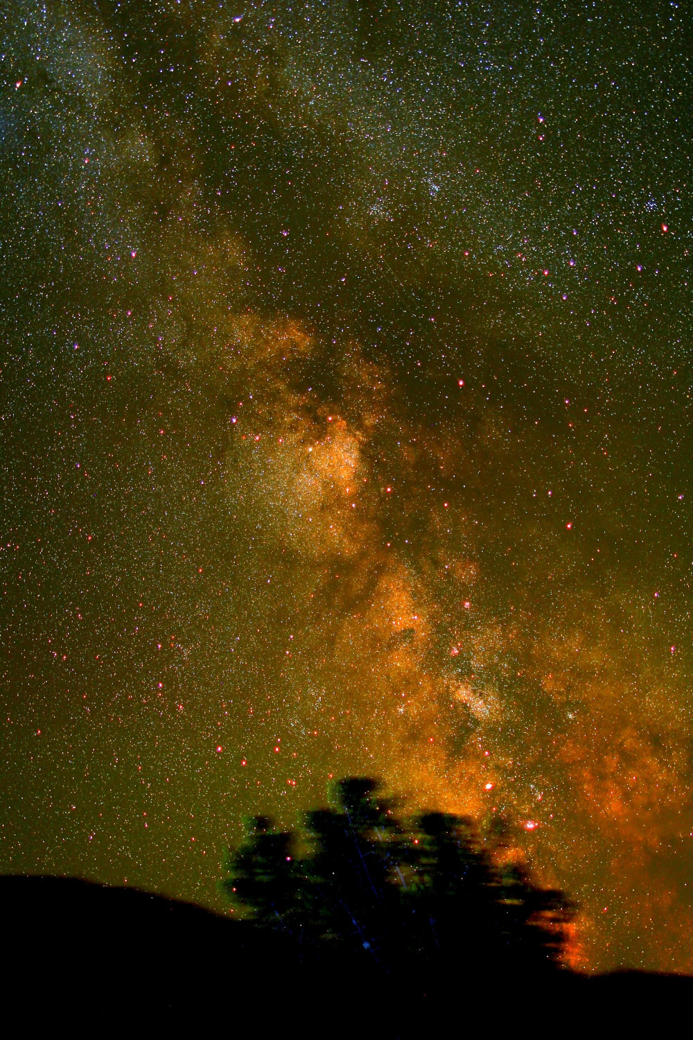
Milky Way, as seen from Osprey Lake, August 5, 2018 - 5 minute time exposure by Colin and Clark Allenby
Full Moon July 16, 2019 - In celebration of man first stepping on the moon 50 years ago. "ONE SMALL STEP FOR MAN, ONE GIANT LEAP FOR MANKIND." - Picture taken by Richard Harron
Milky Way, as seen from Osprey Lake, August 5, 2018 - 5 minute time exposure by Colin and Clark Allenby
Full Moon July 16, 2019 - In celebration of man first stepping on the moon 50 years ago. "ONE SMALL STEP FOR MAN, ONE GIANT LEAP FOR MANKIND." - Picture taken by Richard Harron
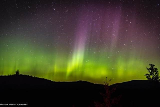
NORTHERN LIGHTS AS SEEN FROM OSPREY LAKE
TAKEN SEPTEMBER 15, 2017 @ 10:15PM BY RICHARD HARRON
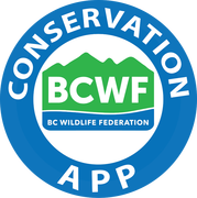
BCWF Conservation App
|
BC Wildlife Federation has launched a free iPhone app which allows anyone users to take geo-referenced, time-stamped photos or videos and to report issues related to illegal use, or abuse, of our natural resources. The app works both in and out of service using the phone’s GPS. Reports are sent to a secure server and then forwarded automatically to the appropriate enforcement agency. At the Apple App Store, just search for "Conservation App"
|
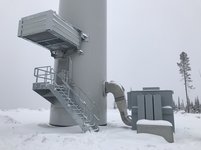
Okanagan Wind Farm - Shinish Creek Site, north of Thursk Lake
|
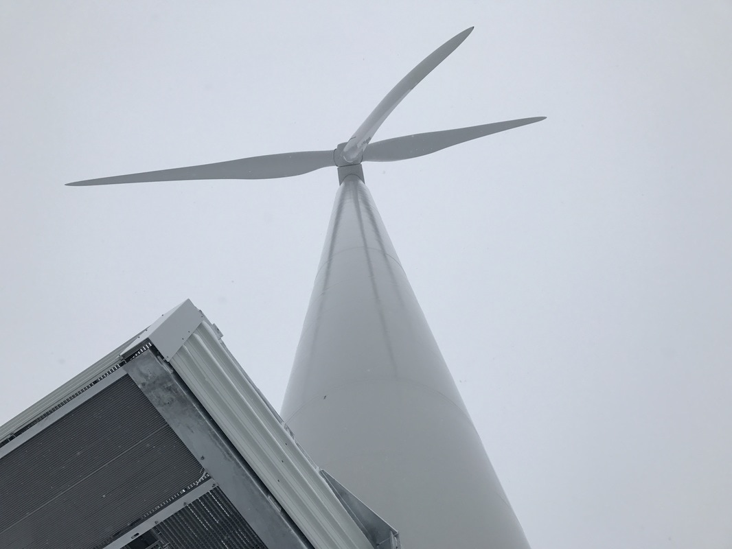
Both the nearby Pinnask Wind Farm and the Shinish Creek sight are now operational and connected to the BC Hydro grid. Information on Okanagan Wind can be found at their website (www.OkanaganWind.ca). There are many great photos to look through for anyone interested in knowing what the sites looked like during construction and now. |

Look familiar? - Illegal Dumping of laminate flooring - South-east of Osprey Lake off Trout Main FSR
|
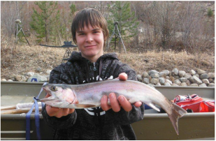
Marcus and the first big fish of the year caught on Osprey Lake - April 5, 2015
|


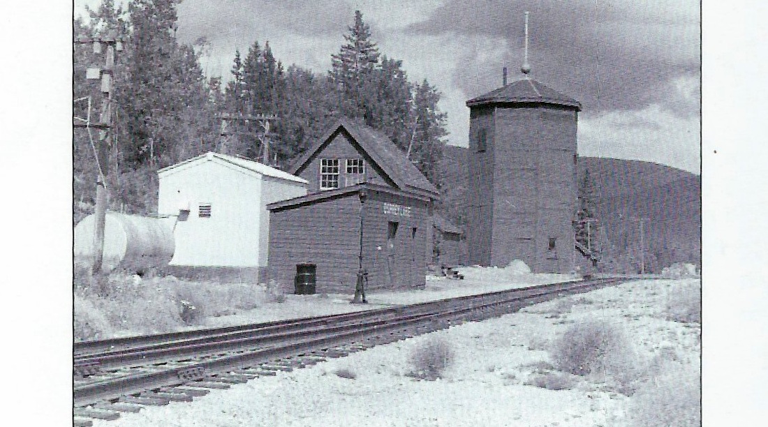
KVR Osprey Lake Station - picture taken approx. 1964
